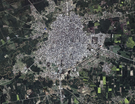
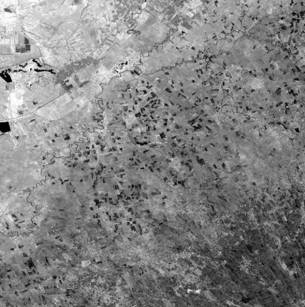
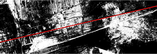
Corona image in Corona era
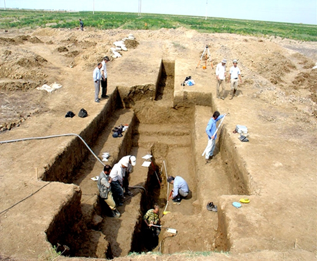
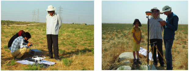
Detection and Documentation of the Great Wall of Gorgan
by dr. Abbass Malian
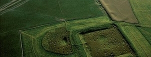
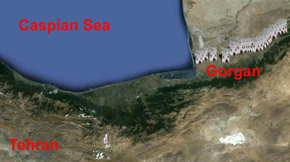
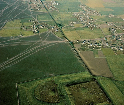
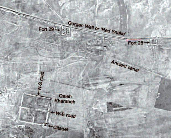
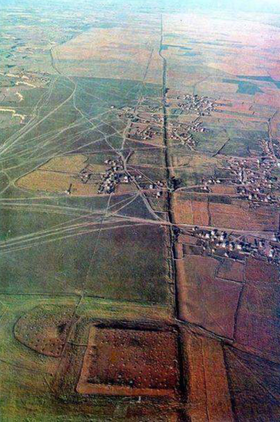
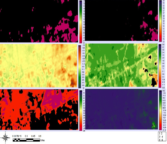
The Great Wall of Gorgan or the Red Snake (which owes its name to its red color bricks), is a historical wall that extends from the Caspian Sea to the top of the Alborz Mountains. Almost all of this wall is now gone, leaving only small parts of it buried underground. The Great Wall of Gorgan, with a length of about 200 km, the construction of which took more than 90 years, is the longest historical monument in Iran and the largest defensive wall in the world after the Great Wall of China. The historical wall of Gorgan dates back to the Sassanid period. Archaeologists have dated it to the 5th century AD.
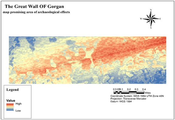
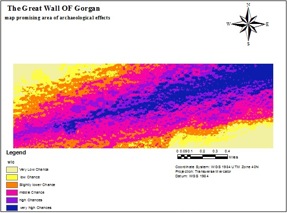
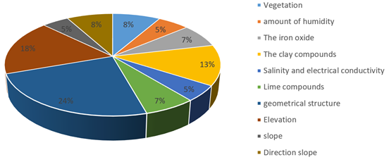
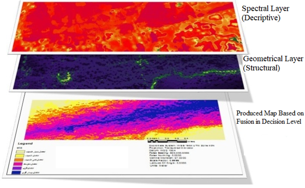
Contribution of each criterion in the final decision according to the assigned weights


Leave a Reply
Want to join the discussion?Feel free to contribute!